Geographic Information Systems (GIS)
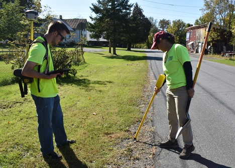
Geographic Information Systems (GIS) is a computer software system used to store, retrieve, manipulate and analyze spatial data. The Development Authority has a sophisticated GIS program that it uses to track its own infrastructure and is available to partner municipalities to track their assets as well. The system allows the tracking of a wide variety of assets, including water and sewer infrastructure, sidewalks, culverts, road signs, trees, municipal electric and much more.
The Development Authority hosts the Internet Mapping Application (IMA), a public website designed to be a user-friendly GIS resource for the North Country. The county and regional portals offer a range of data from federal, state and local government sources, all in one place. The IMA is continually updated with data and interactive tools that allow users to view important data layers. The GIS is more than a map. It allows users to see patterns, relationships and trends. Development Authority staff offer annual training sessions and phone support to assist users with the site.
The Development Authority can provide municipal GIS services:
- Data collection
- Records conversion
- Records management
- Data hosting
- Updates and maintenance
- Grant writing assistance for GIS services
For information on GIS services, contact Warren Salo, GIS Supervisor, at 315-661-3225, wsalo@danc.org.